| |
Historical
Background
Xhosa-speaking Nguni tribes began to settle in what
is now Southern Natal and Transkei from about 1500 and
around 1700 these tribes began to cross into the good
grazing country west of the Kei River. By 1775 the Western
Xhosas had reached the Fish River while the Eastern
Xhosas occupied the western part of the present Transkei
with the Tembu, Panda and smaller tribes further to
the East in the same territory.
Clashes
over land resulted between the white settlers and the
African tribes. Finally by various measures passed in
the Cape Parliament between 1866 and 1894, the Ciskei
(Ruled as a separate Crown colony) and Transkei were
both brought administratively under British Colonial
Rule.
Constitutional Development
As a result of the 1894 ‘Glen Grey Act’
a system of local councils grouped under a district
council was established in that area and subsequently
extended to the districts across the Kei where thirteen
district councils were amalgamated to form the Transkei
Territories General Council in 1903.
This General Council had been functioning fairly successfully
for many years when the Natives Land Act of
1913 was passed by the Union Parliament providing that
the Transkei Territories should be inalienably reserved
for Black occupation and ownership. Similar general
councils were established for West Pondoland in 1911
and for East Pondoland in 1927. By 1932 all three bodies
had been amalgamated as the United Transkei Territories
General Council, usually referred to as the Bunga
at Umtata.
The Bunga was empowered to advise the
South African administering authorities on various matters
as well as to exercise certain limited executive and
legislative powers. With this
background of political and administrative experience
it was only natural that Transkei should have taken
the lead in the movement of South Africa’s Black
Homelands towards Independence in terms of the policy
of separate development.
The basic shortcomings of the Bunga
system were that most responsibilities still rested
on the shoulders of White officials (Magistrates).
Blacks had no real opportunity of administering their
own affairs and their law and custom were often not
taken into account.
Between 1955 and 1959, however, the full range of
tribal, regional and Territorial authorities provided
for in the Bantu Authorities Act of 1951 was established
in Transkei and in 1963 Transkei was granted internal
Self-Government by the South African Parliament. The
Transkei Constitution Act passed in that
year provided for the establishment of a unicameral
legislature and a cabinet. It also made provision
for Transkei to have its own Flag and National Anthem,
its own Official language and Citizenship.
The passing of the Transkei Constitution Act was
an event of great significance in the history of the
Black peoples of South Africa. It was tangible evidence
of the results of the policy of promoting Black political
independence initiated in 1951 and carried a step
further in 1959 by the passing of the Promotion of
Bantu Self-Government Act.
A General election to fill the then 45 seats for elected
members in the Transkei Legislative Assembly
was held in November 1963 on the basis of Universal
Adult Suffrage. Subsequent elections were held in
1968 and 1973.
Chiefs are an essential element in the traditional
political and social system of Transkei. Most Transkeians
consider it necessary that the Chiefs should play
their part in the highest legislative body of the
new state.
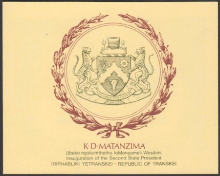
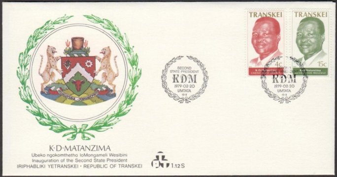
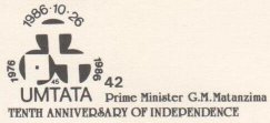
By vote of the Legislative Assembly, Paramount Chief
Kaiser Matanzima became Chief Minister of Transkei
in 1963.
In March 1974 Chief Minister Matanzima moved in the
Legislative Assembly that the Republican Government
be requested to grant full Independence to Transkei
within five years, claiming that in the 1973 election
the electorate had given his Transkei National Independence
Party a mandate to this effect.
The opposition being the Democratic
Party and represented in the Transkeian Legislature
by 11 members demanded a referendum on the Independence
issue but the Chief Minister’s motion was adopted
by a majority vote.
Continued
in next column
|
|
Subsequently,
on 10 September 1974, the South African Prime Minister
stated in the House, after discussions with the Chief
Minister, that the Government was in favour of granting
inde-pendence to Transkei, and that a joint working
committee of experts from the Republic of South Africa
and Transkei would prepare constitutional proposals
for submission to a Recess Committee of the Transkei
Legislative Assembly consisting of members of all
parties represented in the Transkei Legislative Assembly
and a Joint Cabinet Committee comprising the Prime
Minister of South Africa, the Chief Minister of Transkei,
the Minister of Bantu Administration and Development
and the Minister of Justice. This Committee also reports
periodically to the Joint Cabinet Committee on other
matters incidental to the Independence of Transkei.
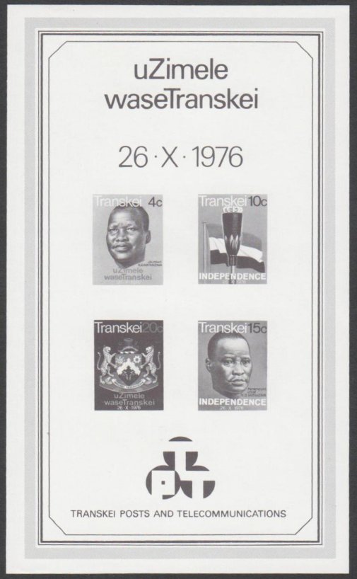
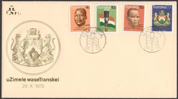
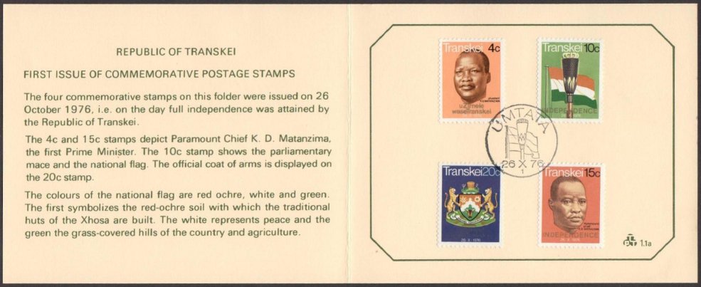
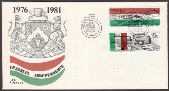
The new state will be called the Republic
of Transkei. The new constitution, the introduction
of which will be preceded by an election, is expected
to provide for a president as ceremonial head of the
state. His assent will validate legislation passed
by the Transkeian Parliament.
Geographical Description
Transkei, the traditional homeland of most of the
Xhosa-speaking peoples, is a fertile, well-watered
territory between the Kei River separating it from
the Cape Province on the south-west and the Umtamvuna
dividing it from Natal on the northeast with the Indian
Ocean coastline and the Drakensberg range as its other
natural boundaries.
In political terms, its neighbours are the Republic
of South Africa and the Kingdom of Lesotho and, since
the recent incorporation of the Glen Grey and Herschel
districts, its total area amounts to about 43,000
square kilometres, i.e. a country about the same size
as Denmark or Switzerland and considerably larger
than Belgium or the Netherlands. As compared with
most countries on the African continent, Transkei
may seem small, but it is actually more than twice
the size of Swaziland and considerably larger than
Lesotho, Burundi and Rwanda. All of which are independent
states and members of the United Nations Organization.
The climate is mild and temperate, moderately humid,
with sufficient rain in summer and dry winters. No
part of the land gets on the average less than 500
mm of rain a year making possible the successful cultivation
of a large variety of crops ranging from subtropical
products on the coast to those common to the temperate
regions of the globe in the interior. At present Transkei
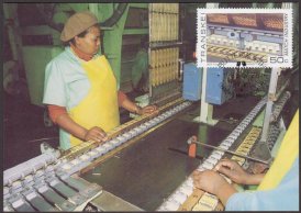
is essentially an agricultural country with a largely
undeveloped potential.
Source
Transkei Booklet published by INTERSAPA (1976)
|
|
.jpg)
.jpg)
.jpg)
.jpg)
.jpg)
.jpg)
.jpg)
.jpg)
.jpg)
.jpg)
.jpg)
.jpg)
.jpg)
.jpg)
.jpg)
.jpg)
.jpg)
.jpg)
.jpg)
.jpg)
.jpg)
.jpg)
.jpg)
.jpg)
.jpg)
.jpg)
.jpg)
.jpg)
.jpg)
.jpg)
.jpg)
.jpg)
.jpg)
.jpg)
.jpg)
.jpg)
.jpg)
.jpg)
.jpg)
.jpg)
.jpg)
.jpg)
.jpg)
.jpg)
.jpg)
.jpg)
.jpg)
.jpg)
.jpg)
.jpg)
.jpg)
.jpg)
.jpg)
.jpg)
.jpg)
.jpg)
.jpg)
.jpg)
.jpg)
.jpg)
.jpg)
.jpg)
.jpg)
.jpg)
.jpg)
.jpg)
.jpg)
.jpg)
.jpg)
.jpg)
.jpg)
.jpg)
.jpg)
.jpg)
.jpg)
.jpg)
.jpg)
.jpg)
.jpg)
.jpg)
.jpg)
.jpg)
.jpg)
.jpg)
.jpg)
.jpg)
.jpg)
.jpg)
.jpg)
.jpg)
.jpg)
.jpg)
.jpg)
.jpg)
.jpg)
.jpg)
.jpg)
.jpg)
.jpg)
.jpg)
.jpg)
.jpg)
.jpg)
.jpg)
.jpg)
.jpg)
.jpg)
.jpg)
.jpg)
.jpg)
.jpg)
.jpg)

.jpg)
.jpg)
.jpg)
.jpg)
.jpg)
.jpg)
.jpg)
.jpg)
.jpg)
.jpg)
.jpg)
.jpg)
.jpg)
.jpg)
.jpg)
.jpg)
.jpg)
.jpg)
.jpg)
.jpg)
.jpg)
.jpg)
.jpg)
.jpg)
.jpg)
.jpg)
.jpg)
.jpg)
.jpg)
.jpg)
.jpg)
.jpg)
.jpg)
.jpg)
.jpg)
.jpg)
.jpg)
.jpg)
.jpg)
.jpg)
.jpg)
.jpg)
.jpg)
.jpg)
.jpg)
.jpg)

.jpg)
.jpg)
.jpg)
.jpg)
.jpg)
.jpg)
.jpg)
.jpg)
.jpg)
.jpg)
.jpg)
.jpg)
.jpg)
.jpg)
.jpg)
.jpg)

.jpg)
.jpg)
.jpg)
.jpg)

.jpg)
.jpg)
.jpg)
.jpg)
.jpg)
.jpg)
.jpg)
.jpg)

.jpg)
.jpg)
.jpg)
.jpg)
.jpg)
.jpg)
.jpg)
.jpg)
.jpg)
.jpg)
.jpg)
.jpg)
.jpg)
.jpg)
.jpg)
.jpg)
.jpg)
.jpg)
.jpg)
.jpg)
.jpg)
.jpg)
.jpg)
.jpg)

.jpg)
.jpg)
.jpg)
.jpg)
.jpg)
.jpg)
.jpg)
.jpg)
.jpg)
.jpg)
.jpg)
.jpg)
.jpg)
.jpg)
.jpg)
.jpg)
.jpg)
.jpg)
.jpg)
.jpg)
.jpg)
.jpg)
.jpg)
.jpg)
.jpg)
.jpg)
.jpg)
.jpg)
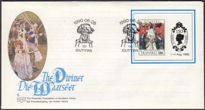
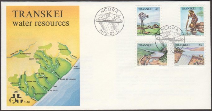
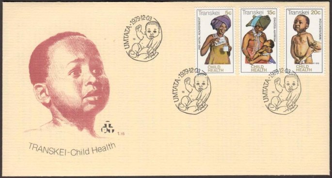
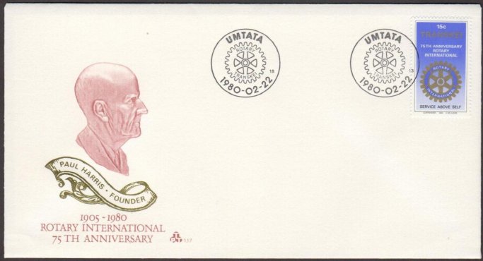
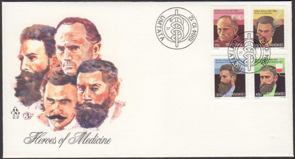
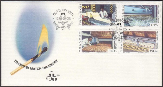
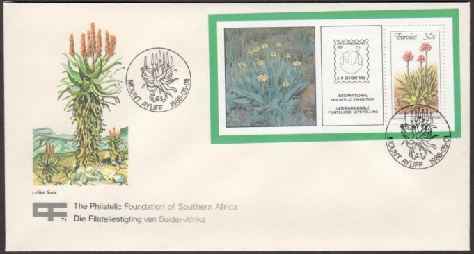
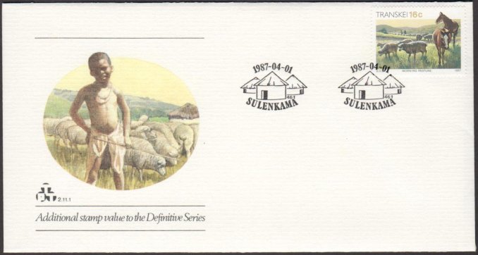
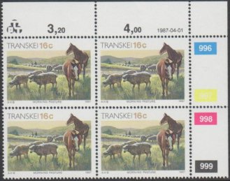
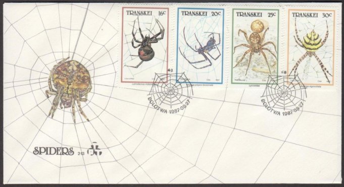
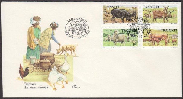
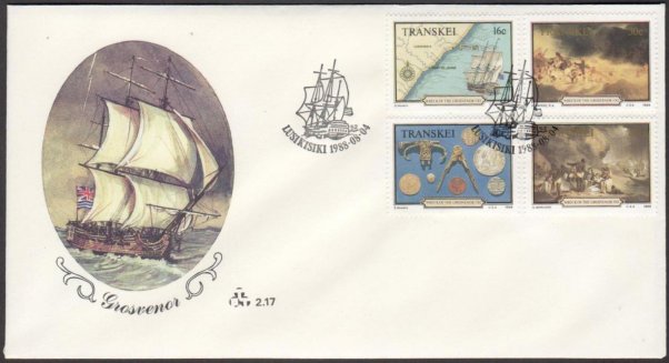
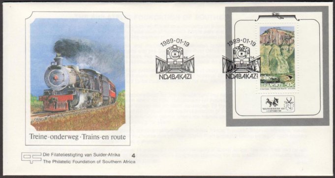
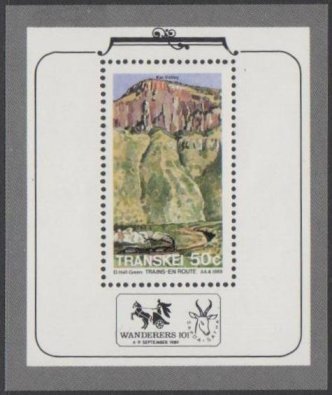
 First
Day Cover
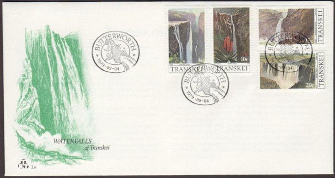
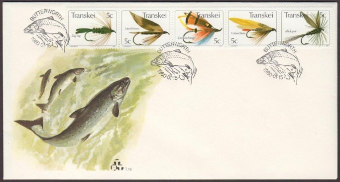
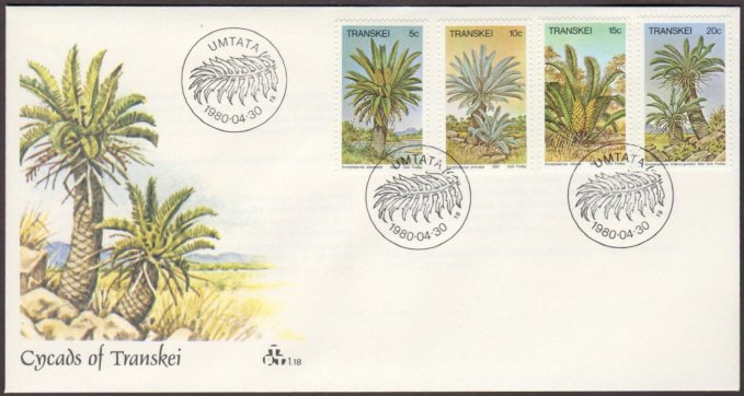
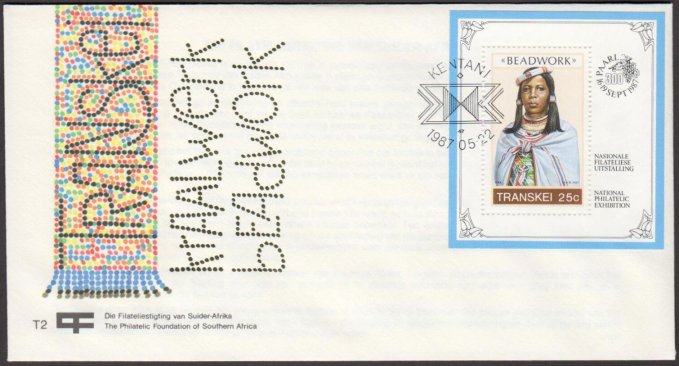
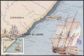
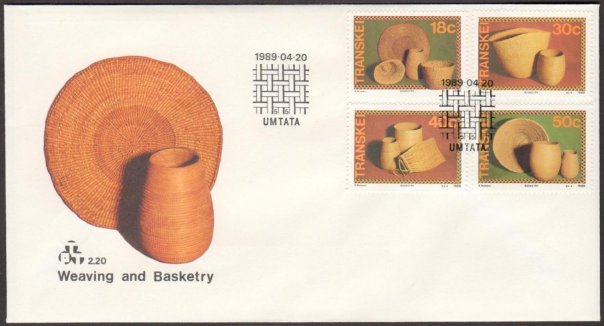
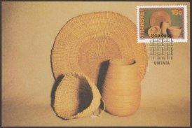
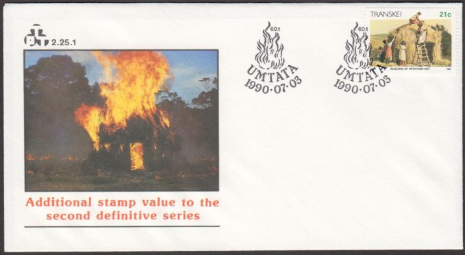
First
Day Cover 
.jpg)
.jpg)
.jpg)
.jpg)
.jpg)
.jpg)
.jpg)
.jpg)
.jpg)
.jpg)
.jpg)
.jpg)
.jpg)
.jpg)
.jpg)
.jpg)
.jpg)
.jpg)
.jpg)
.jpg)
.jpg)
.jpg)
.jpg)
.jpg)
.jpg)
.jpg)
.jpg)
.jpg)
.jpg)
.jpg)
.jpg)
.jpg)
.jpg)
.jpg)
.jpg)
.jpg)
.jpg)
.jpg)
.jpg)
.jpg)
.jpg)
.jpg)
.jpg)
.jpg)
.jpg)
.jpg)
.jpg)
.jpg)
.jpg)
.jpg)
.jpg)
.jpg)
.jpg)
.jpg)
.jpg)
.jpg)